Revolutionizing Shallow Water Mapping through Drone LiDAR
At Blueseabed, we are dedicated to advancing environmental stewardship by delivering precise, drone-based Green LiDAR solutions. Our mission centers on empowering stakeholders with detailed, actionable data to protect and manage coastal ecosystems responsibly.
Advanced Drone-Based Green LiDAR Mapping for Coastal Ecosystems
Explore vital data showcasing Blueseabed’s impact through detailed environmental metrics and achievements.
1500
Mapped Areas
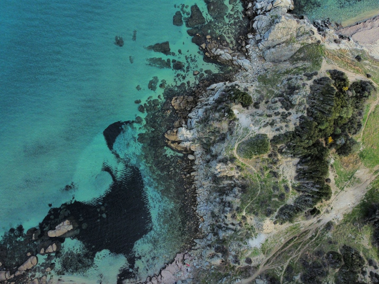
Extensive mapping of shallow coastal waters delivering high-resolution 3D underwater models.
95
Client Satisfaction
Providing precise geospatial data enhancing decision-making for municipalities and researchers.
120
Projects Completed
Successful deployment of Green LiDAR technology across diverse coastal monitoring initiatives.
85
Data Accuracy Rate
Consistently achieving high-resolution and reliable mapping results for environmental analysis.
Precision Mapping You Can Rely On
Discover our certifications and advanced technologies that guarantee accuracy and dependable environmental insights.

Certified Green LiDAR Technology
Our cutting-edge drone-based LiDAR system meets rigorous environmental standards, ensuring precise and trusted data collection.

Data Security & Privacy Compliance
We implement strict data protection protocols, safeguarding client information and complying with all relevant regulations.

Industry Recognition & Partnerships
Blueseabed is recognized by leading environmental agencies, validating our commitment to quality and innovation.

Proven Environmental Impact
Our solutions empower municipalities and researchers with actionable insights, reinforcing our reputation for reliability.